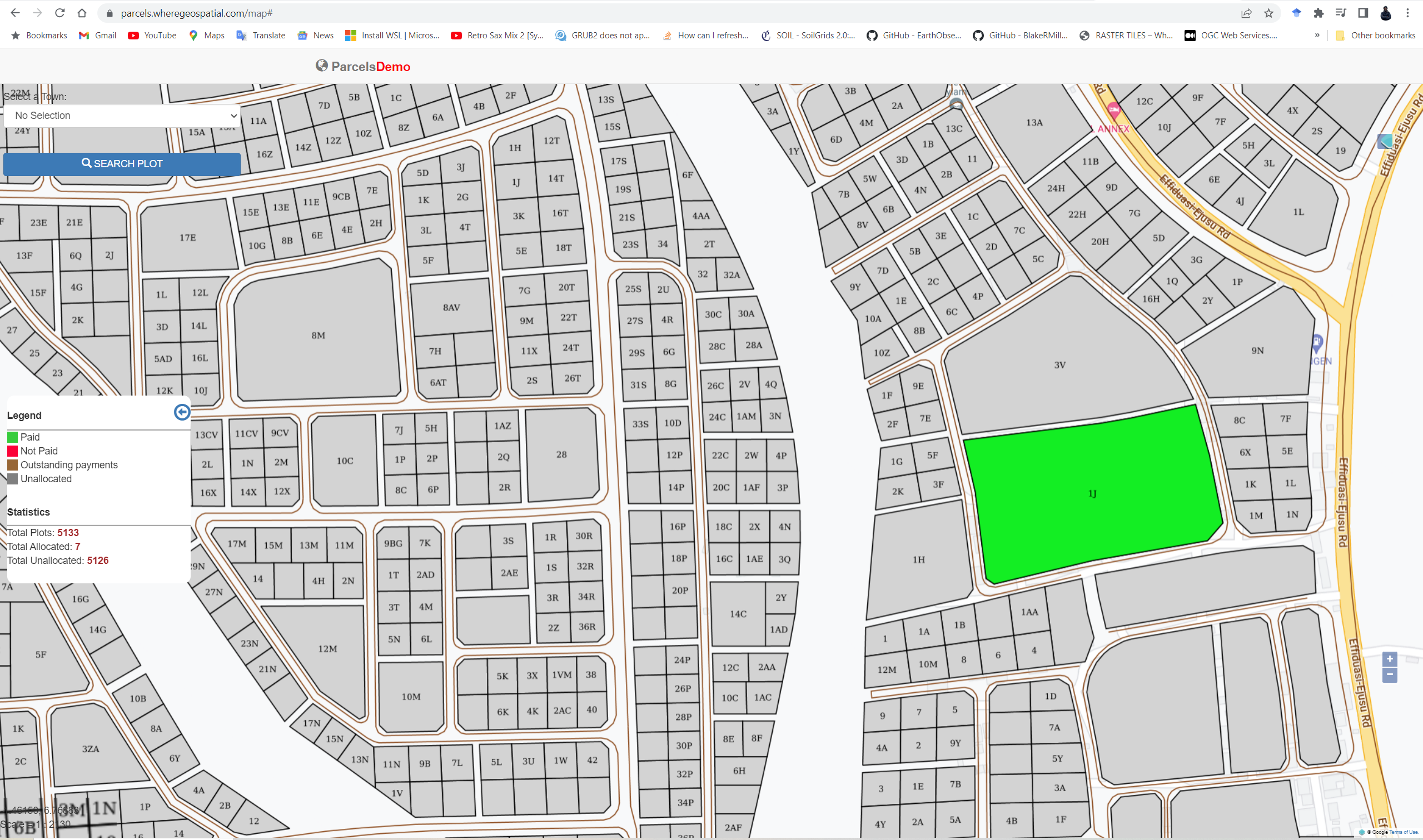
Parcels Allocation Management System
A Web GIS for managing the cadastre of land parcels.
- Completed: 2019
- Context: Where Geospatial
- Tools: GeoServer, PostgreSQL/PostGIS, PHP, OpenLayers
- Try it: https://parcels.newtongis.com
The Problem
The traditional way of using paper-based documents to track land ownership and lease has not proven efficient enough when dealing with large numbers of parcels and related information. This challenge normally results in leasing a land to more than one person causing litigation over lands which is one of the many cases in the high court today.
The Solution
I built a GIS to allow land managers to:
- Visualize the status of their parcels at a glance.
- Checking of allocation details of any parcel.
- Digitize the process of land allocation and Revenue Generation.
- Search for parcels at ease.
